Flood Insurance Is Mandatory in More Zones Than Ever — Here's What FEMA's New Maps Mean for Your Premium
Flood Insurance Is Mandatory in More Zones Than Ever — Here's What FEMA's New Maps Mean for Your Premium
Published 2026-04-09 • Price-Quotes Research Lab Analysis
Somewhere in America right now, a homeowner is opening a letter from FEMA. Their property just got redrawn into a high-risk flood zone. They have 30 days to provide proof of flood insurance to their lender — or face a forced placement policy that costs twice what they'd pay shopping around. They didn't build a house on a floodplain. The floodplain moved under them.
That's not hypothetical. That's the new normal. FEMA's ongoing Risk Mapping, Assessment, and Planning (Risk MAP) initiative has been systematically updating Flood Insurance Rate Maps across the country since 2020, and the results have put millions of additional properties into Special Flood Hazard Areas (SFHAs) — zones where flood insurance becomes mandatory if you carry a federally backed mortgage.
How Many Properties Got Redrawn?
The scope is significant. FEMA has processed thousands of Letters of Final Determination since the updated mapping program kicked into high gear, each one triggering a six-month clock for communities to adopt new flood maps or face federal consequences. Communities that don't adopt can lose access to federal disaster funds and flood insurance availability. The pressure to comply means local officials often have little choice but to accept expansions to high-risk zones, regardless of whether property owners agree with the science.
According to Price-Quotes Research Lab analysis of FEMA program data, the number of properties newly mapped into SFHAs has accelerated sharply since 2023. Coastal erosion, improved elevation data from LiDAR surveys, and updated hydraulic modeling have all contributed to more accurate — and more expansive — flood zone designations. What once looked like a safe suburban lot on old paper maps might now be sitting in a mapped floodway based on actual terrain data.
Here's the part most people miss: you don't have to be near a river or coastline. Urban flooding, groundwater rise, and poor drainage in low-lying areas can put properties into high-risk zones even miles from any visible water body. FEMA's updated modeling accounts for these factors in ways the old 1980s-era maps never did.
The Premium Math Changed with Risk Rating 2.0
Even for homeowners who knew they were in a flood zone, the pricing shock has been real. FEMA's Risk Rating 2.0, fully implemented in April 2022, replaced the old actuarial system with a model that prices policies based on actual risk factors: property value, elevation, distance to water, cost to rebuild, and multiple flood hazard metrics instead of a single flood zone designation.
On paper, Risk Rating 2.0 was supposed to be more equitable — lower-income homeowners in modest homes in moderate-risk zones were supposed to see relief. In practice, properties in high-value homes in genuinely risky locations saw the largest increases. The average annual premium nationally crossed $1,000 for the first time in 2024, and the trend shows no signs of reversing.
Properties newly mapped into Special Flood Hazard Areas face mandatory flood insurance requirements from their lenders — and the average first-year premium after a remapping runs $2,400 to $4,800 annually depending on property characteristics.
What Homeowners Can Actually Do
The panic is understandable, but inaction is the worst option. Homeowners in newly mapped zones have several paths forward, and some of them can eliminate the mandatory insurance requirement entirely.
The fastest route: get a Letter of Map Amendment (LOMA) or Letter of Map Revision (LOMR) from FEMA. These official determinations remove a property from a mapped flood zone based on actual elevation data. If your lowest floor sits above the Base Flood Elevation — which you prove with a certified elevation certificate — you can apply and often win. The application fee is modest, and the long-term savings justify the effort. A successful LOMA removes the mandatory insurance requirement and typically drops your premium to near zero or eliminates it entirely.
If the property genuinely sits below base flood elevation, you're likely stuck with mandatory coverage. But you're not stuck with any single insurer. The National Flood Insurance Program (NFIP) Write Your Own carrier market is competitive, and private flood insurers have expanded significantly. Premiums can vary by thousands of dollars between carriers for identical coverage on identical properties. That variance is worth exploiting.
The Lender Trap Nobody Talks About
Here's what the FEMA letters don't tell you: if you fail to provide flood insurance documentation, your lender will force-place a policy. Force-placed insurance is bare-bones coverage at premium rates that often exceed market by 50% or more. The lender doesn't care about shopping around. They care about their collateral being covered. And once force-placed, getting out of it requires proving continuous coverage to their satisfaction — a process that can take months and cost thousands in overlap premiums.
The 30-day window to respond to a new flood zone determination is real. Homeowners who ignore the letter from their lender or their community's floodplain manager do so at significant financial peril. Penalties for lapses, gaps in coverage during the application process for LOMAs, and force-placement fees can compound rapidly.
Communities themselves are under pressure. FEMA's Community Rating System (CRS) offers premium discounts for jurisdictions that adopt higher standards than minimum requirements, but those programs take years to implement. When a map update lands, communities have limited time to adjust building codes, drainage systems, and emergency plans. Property owners who engage with local floodplain administrators early can sometimes influence how new maps are adopted and implemented, especially in borderline cases where technical revisions are possible.
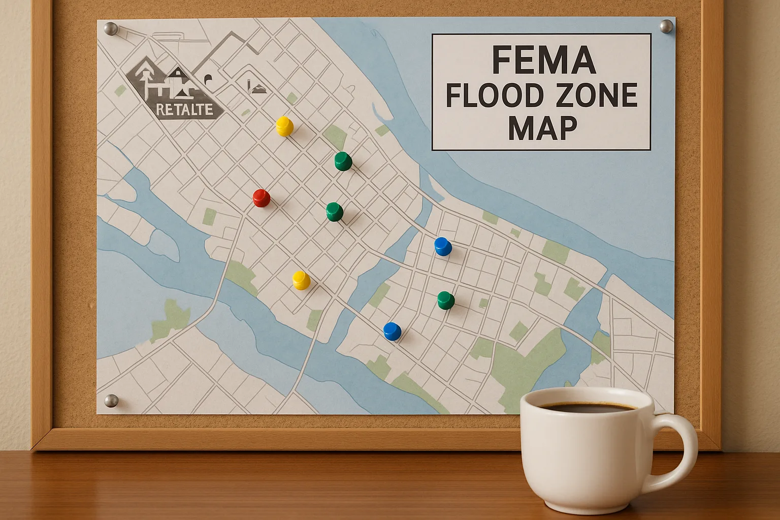
Decoding the Zone Letters: What A, AE, V, and X Actually Mean
FEMA's Flood Insurance Rate Maps use a classification system that many homeowners receive in letters without ever understanding. The zone designations aren't arbitrary — they encode specific hydrological data about probability, depth, and velocity of expected flooding. Getting familiar with these codes matters because they directly determine both your insurance requirements and your risk profile.
Properties in Special Flood Hazard Areas (SFHAs) carry mandatory flood insurance requirements if a federally backed mortgage is involved. The SFHA designation covers zones starting with the letter "A" or "V." Zone A represents areas with a 1% annual chance of flooding (the so-called 100-year floodplain), while Zone V designates coastal areas with additional hazards like wave velocity — the letters "AE," "AH," "AO," and "A1-A30" represent subdivisions of Zone A with increasing specificity about expected water depth and flow patterns.
Outside the SFHA, zone designations drop to "B" (moderate risk, 0.2% annual chance), "C" (minimal risk), and "X." Zone X appears in two variants: shaded X indicates areas with 0.2% annual chance or areas with average depth less than one foot. Unshaded X represents the lowest risk category. According to FEMA's Flood Map Service Center, roughly 22% of all NFIP claims come from properties outside SFHAs — a statistic that underscores why "minimal risk" doesn't mean "no risk."
The zone classifications also carry building code implications. Properties in Zones A and V face additional construction requirements, including elevated foundations in V-zones and specific anchoring standards for manufactured homes. These requirements apply regardless of whether the property owner carries flood insurance, making zone awareness essential before any construction project.
It's worth understanding that flood maps have revision dates and effective dates. An old map might show your property outside the floodplain, but a pending revision could change that status. Checking the FEMA Flood Map Service Center regularly matters as much as responding to a letter you've already received.
The Elevation Certificate: The Document That Can Cut Your Premium
If you're in a high-risk zone, the single most impactful document you can obtain for your flood insurance is an Elevation Certificate (EC). This document, completed by a licensed land surveyor, engineer, or architect, records your building's lowest floor elevation relative to the Base Flood Elevation (BFE) — the expected water level during a 100-year flood event. Under Risk Rating 2.0, this difference between your floor and the BFE directly affects your premium calculation.
The math is straightforward but significant. A home with its lowest floor two feet above BFE carries substantially lower risk than an identical home two feet below BFE. The National Flood Insurance Program allows premium discounts of up to 40% for properties in A zones that are elevated four or more feet above BFE, and similar discounts apply in V zones for elevated structures meeting specific engineering standards.
Many older homes lack Elevation Certificates simply because they were built before the requirement existed. For properties that received Letters of Final Determination placing them in SFHAs, obtaining an EC immediately after the map adoption is often the first strategic move. Insurance agents and community floodplain administrators can often recommend qualified professionals, and FEMA maintains resources for locating certified surveyors in affected areas.
The Elevation Certificate also serves as documentation for Letters of Map Amendment (LOMAs) discussed in the next section. Without a completed EC, contesting a flood zone designation becomes substantially more difficult. FEMA's guidance indicates that properties can be substantially improved or remediated using the EC as a baseline, and proper documentation of elevation improvements can trigger premium re-ratings under the Risk Rating 2.0 methodology.
Fighting the Map: LOMA and LOMR Options for Property Owners
Not every property placed into an SFHA belongs there. Improved elevation data, better modeling, and simple clerical errors have all resulted in properties being erroneously included in high-risk zones. FEMA provides two formal mechanisms for challenging these designations: the Letter of Map Amendment (LOMA) and the Letter of Map Revision (LOMR).
A LOMA is appropriate when a property's lowest adjacent grade — the lowest point where the structure touches the ground — sits at or above the Base Flood Elevation. This doesn't require the entire lot to be above the flood line; it only requires that the actual building location sits above it. Property owners submit a completed Elevation Certificate along with a site plan demonstrating that the structure meets the elevation threshold, and FEMA reviews the submission to determine whether the map should be amended to remove the SFHA designation.
LOMA determinations are generally processed within 30 to 60 days and carry no fee from FEMA. The catch: while FEMA doesn't charge, the professional survey or engineering costs for preparing a complete application can run several hundred to over a thousand dollars. For high-value properties, this investment often pays back quickly through eliminated or reduced flood insurance requirements.
A LOMR is more complex and applies when physical changes to the floodplain itself — such as a new levee, channel modification, or updated hydrological modeling — warrant a permanent map revision. Individual property owners rarely initiate LOMRs independently; these typically require community participation since they alter the official Flood Insurance Rate Map for an entire area rather than a single parcel. However, when a LOMR is processed, all affected properties benefit from the revised designation.
Properties that successfully obtain LOMAs can often achieve significant premium reductions or elimination of mandatory coverage requirements. According to FEMA program data, thousands of successful LOMA applications are processed annually, demonstrating that map challenges are legitimate and viable options for property owners who believe their designation is incorrect. The key is having the elevation data to support the claim, which makes obtaining an Elevation Certificate the critical first step before attempting any map challenge.
The 50% Rule: When Home Improvements Trigger Full Flood Compliance
For homeowners planning renovations or substantial improvements, FEMA's 50% Rule carries implications that often come as a surprise. The rule states that when the cost of improvements to a substantially damaged or substantially improved structure exceeds 50% of the market value of the structure itself, the entire structure must be brought into full compliance with current floodplain development regulations — including elevation requirements for the SFHA.
This rule applies to cumulative improvements over a rolling 10-year period, not just a single project. A homeowner who adds a room for $30,000, builds a deck for $15,000, and finishes a basement for $20,000 over several years might trigger the 50% threshold without realizing they've crossed a compliance line. The calculation uses the market value of the structure only, not the land, which can make triggering the threshold easier than property owners expect.
The compliance implications in an SFHA are significant. If your zone requires the lowest floor to be at BFE plus freeboard, and your current structure sits below that elevation, bringing the property into compliance could mean elevating the entire building — a project costing tens of thousands of dollars that must be completed before permits are issued for the improvement work itself. Communities have been known to halt construction mid-project when inspections reveal that the 50% threshold has been crossed and full compliance hasn't been addressed.
Before undertaking any substantial home improvement project in a flood zone, homeowners should obtain a flood zone determination letter and evaluate whether the planned work might trigger the 50% Rule. An ounce of prevention here prevents the substantial financial and legal complications that come with forced compliance mid-renovation. FEMA's Risk MAP updates have made this planning more critical than ever, as more properties face retroactive elevation requirements that never applied when they were originally constructed.
Optional Coverage: The Gap That Standard Policies Leave
Beyond the mandatory flood insurance requirements tied to federally backed mortgages, a substantial gap exists in flood coverage across the American housing stock. Standard homeowners insurance policies explicitly exclude flood damage, meaning the approximately 70% of American homes without federally backed mortgages have no flood coverage unless they voluntarily purchase it — and many don't realize the need until water is rising through their living room.
The National Flood Insurance Program offers voluntary coverage to any property owner in a participating community, regardless of flood zone designation. Premiums for properties outside SFHAs can be remarkably affordable, with many policies running under $500 annually for moderate-risk properties. The value proposition is straightforward: a single inch of water in a 2,000 square foot home can cause $20,000 or more in damage, making even a low-premium policy a sound financial decision.
Private flood insurers have expanded their offerings in recent years, providing competition for NFIP policies and in some cases offering better coverage terms or pricing for specific property types. Coverage options vary significantly between carriers, with some offering replacement cost coverage for the dwelling (rather than actual cash value) and others including coverage for basements and crawlspaces that NFIP policies historically excluded or limited.
The practical reality is that flood risk exists everywhere, even outside mapped floodplains. FEMA's own data indicates that flooding from sources outside traditional riverine and coastal flooding — including drainage system failures, urban stormwater overwhelming local infrastructure, and rapid snowmelt — accounts for a substantial portion of flood damage claims. The assumption that distance from a visible water body equals safety from flooding is precisely the assumption that updated mapping technology has been systematically correcting.
The Bottom Line
FEMA's updated maps reflect a hard truth: climate change has made flooding more common in places that never expected it. The days when flood insurance was something coastal property owners worried about are over. Every homeowner in a mapped flood zone — new or old — should treat flood insurance the same way they treat property tax and homeowners insurance: unavoidable, annoying, and absolutely non-negotiable if you have a mortgage.
Check your property's flood zone status today. Pull your community's current Flood Insurance Rate Map from FEMA's Flood Map Service Center. If your property sits above base flood elevation and you're in a high-risk zone, a LOMA might be the smartest financial move you make this year. If you genuinely need coverage, price it across at least three carriers before accepting any quote.
The flood zone isn't going away. Your premium doesn't have to be a shock if you act before your lender acts for you.